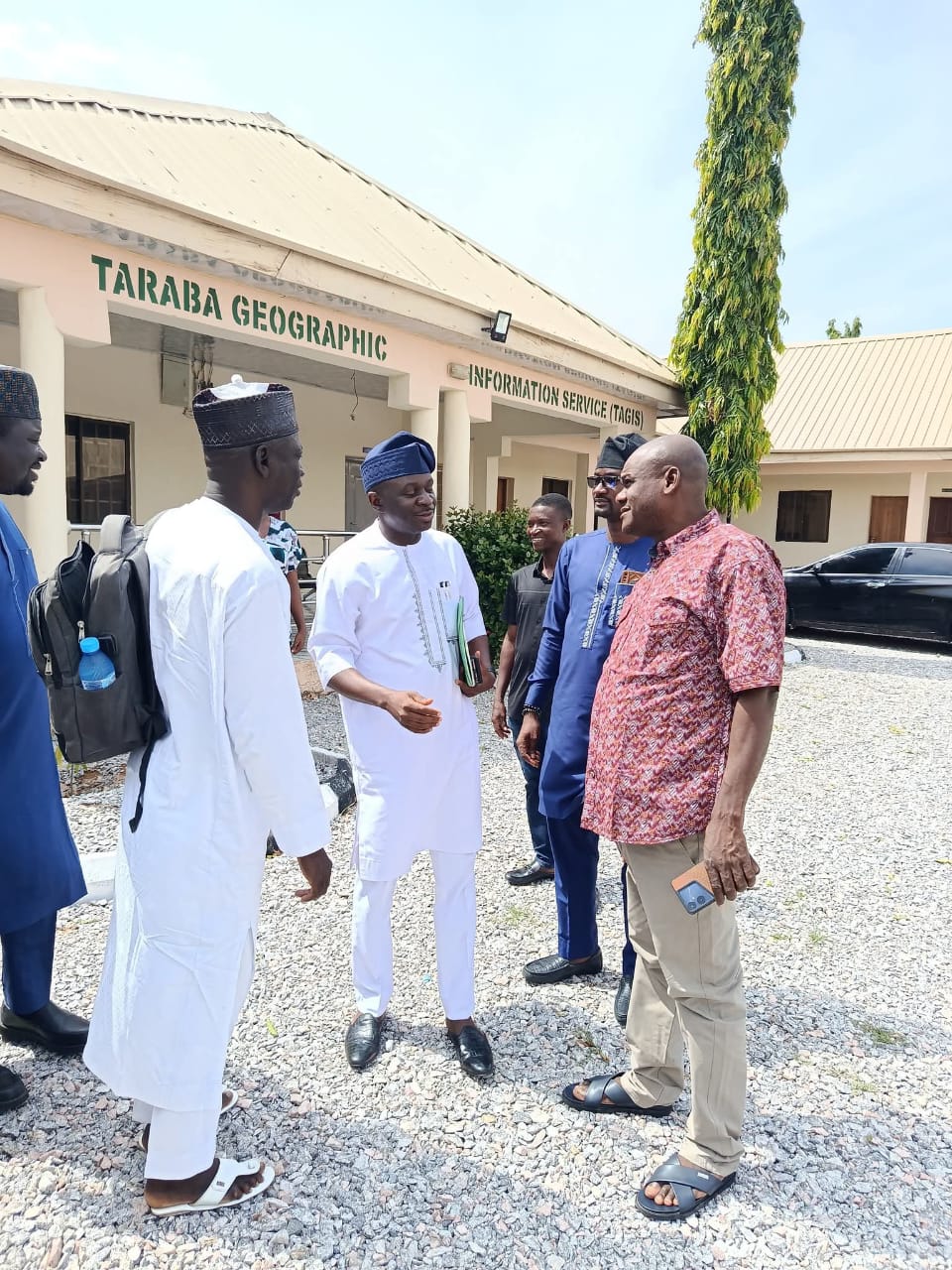
Welcome to Taraba Geographic Information Service
Creating Impact
Our Story
We have been at the forefront of delivering innovative geographic information system (GIS) solutions, advancing digital land administration, cadastral mapping, and space intelligence applications. Our mission is to support effective governance and sustainable development by providing accurate, reliable spatial data and analysis.
- Comprehensive cadastral mapping and land records management
- Advanced GIS technologies to support decision-making
- Space intelligence applications for environmental and security monitoring
We are committed to enhancing transparency, improving land tenure security, and enabling data-driven policies that foster economic growth and environmental stewardship.
Our Services
Cadastral Mapping & Land Registration
Delivering precise land parcel delineation and registration services to secure property rights and support transparent land governance.
GIS Solutions & Spatial Analysis
Providing advanced geographic information system services, spatial data analytics, and visualization tools to empower evidence-based decision-making.
Space Intelligence & Remote Sensing
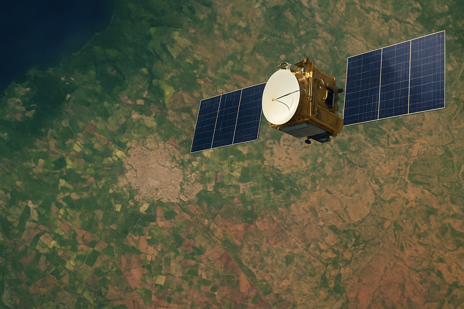
Harnessing satellite imagery and remote sensing technologies to monitor environmental changes, manage disasters, and enhance national security.
Surveying & Geodetic Services
Employing modern surveying and geodetic techniques to deliver accurate land measurements supporting infrastructure, mapping, and development projects.
Capacity Building & Training
Offering professional training programs to build technical skills in GIS, land management, and space intelligence for government staff and stakeholders.
Consultancy & Technical Support
Providing expert consultancy in geospatial technology, policy development, and project implementation to enhance government initiatives.


